
Trail Resilience After Historic Storms
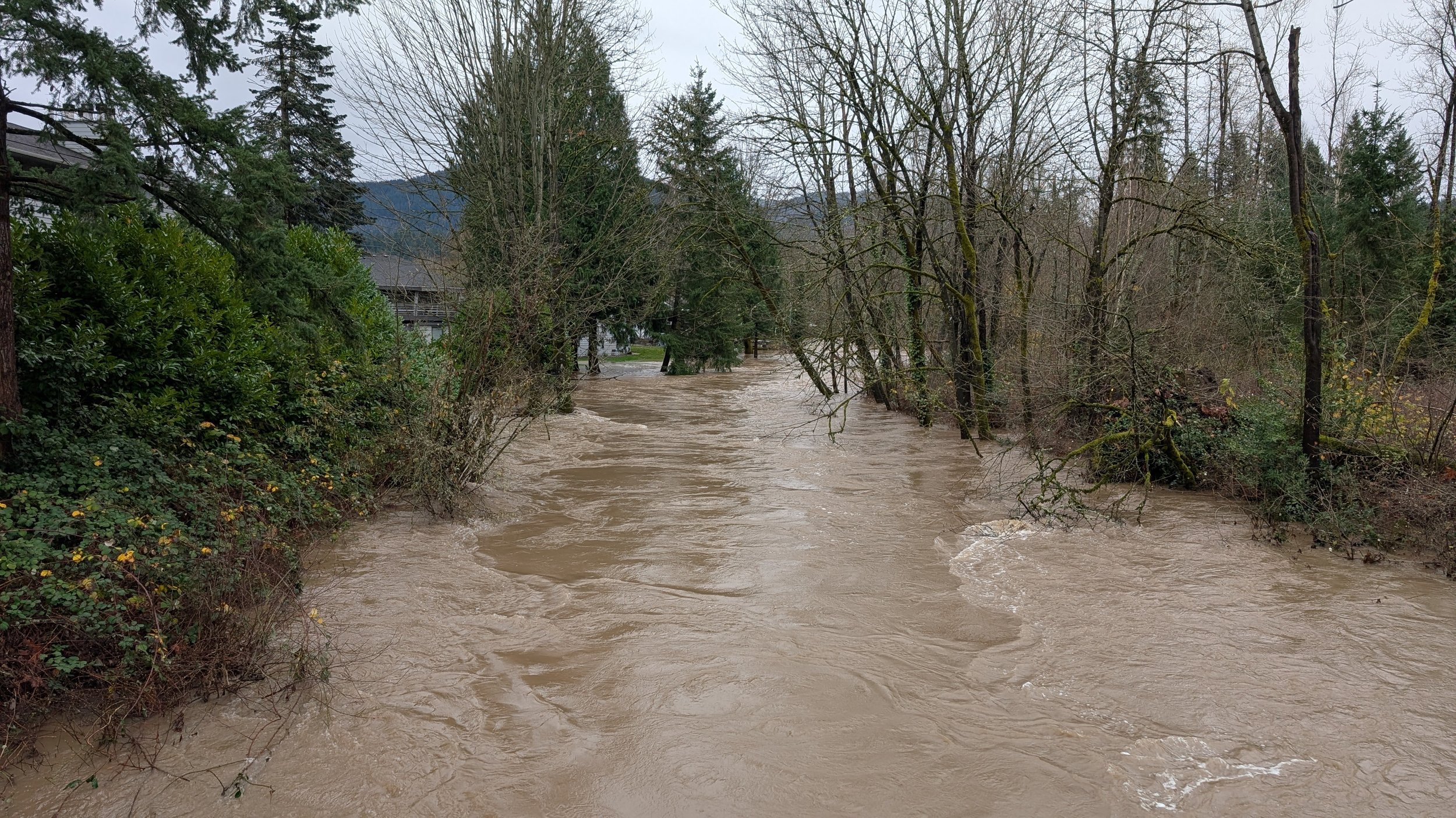
Issaquah Creek near Juniper Street. Photo courtesy of Selena Eon.
By Selena Eon, IATC Board Member
On December 8–11, 10–17 inches of rain fell in the mountainous terrain of Washington state, with lesser but still impressive amounts in the lowlands. As it was warmer than typical for December, most of the precipitation fell as rain rather than snow, melting existing snow and overwhelming lower-elevation rivers as water continued downstream. The incredible volume of water pushed rivers into flood stage, including the Carbon, Cedar, Cowlitz, Grays, Naselle, Nisqually, Nooksack, Puyallup, Skagit, Skykomish, Snohomish, Tolt, Wenatchee, and White rivers. Most major rivers in the state reached at least minor flood stage, and many crested twice as the atmospheric river deflected to California and then returned with more rain. The Snoqualmie River reached its highest level in 17 years.
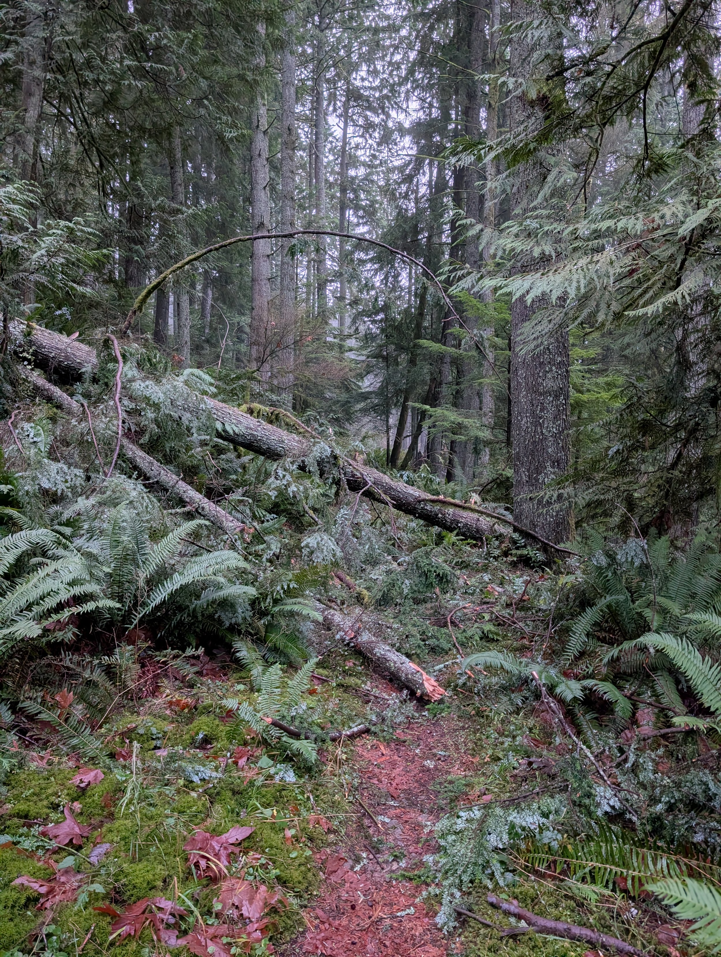
Downed trees from tiny landslide on Squak Eastside Trail. Photo courtesy of Selena Eon.
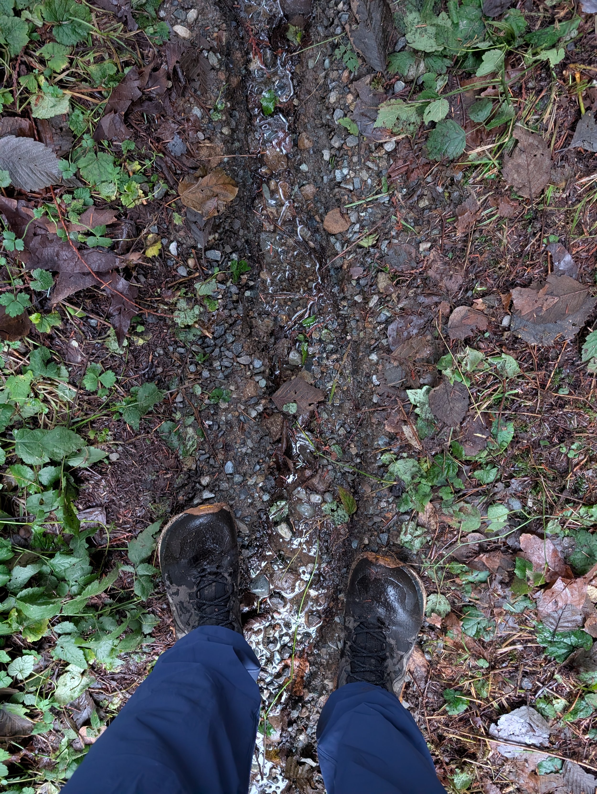
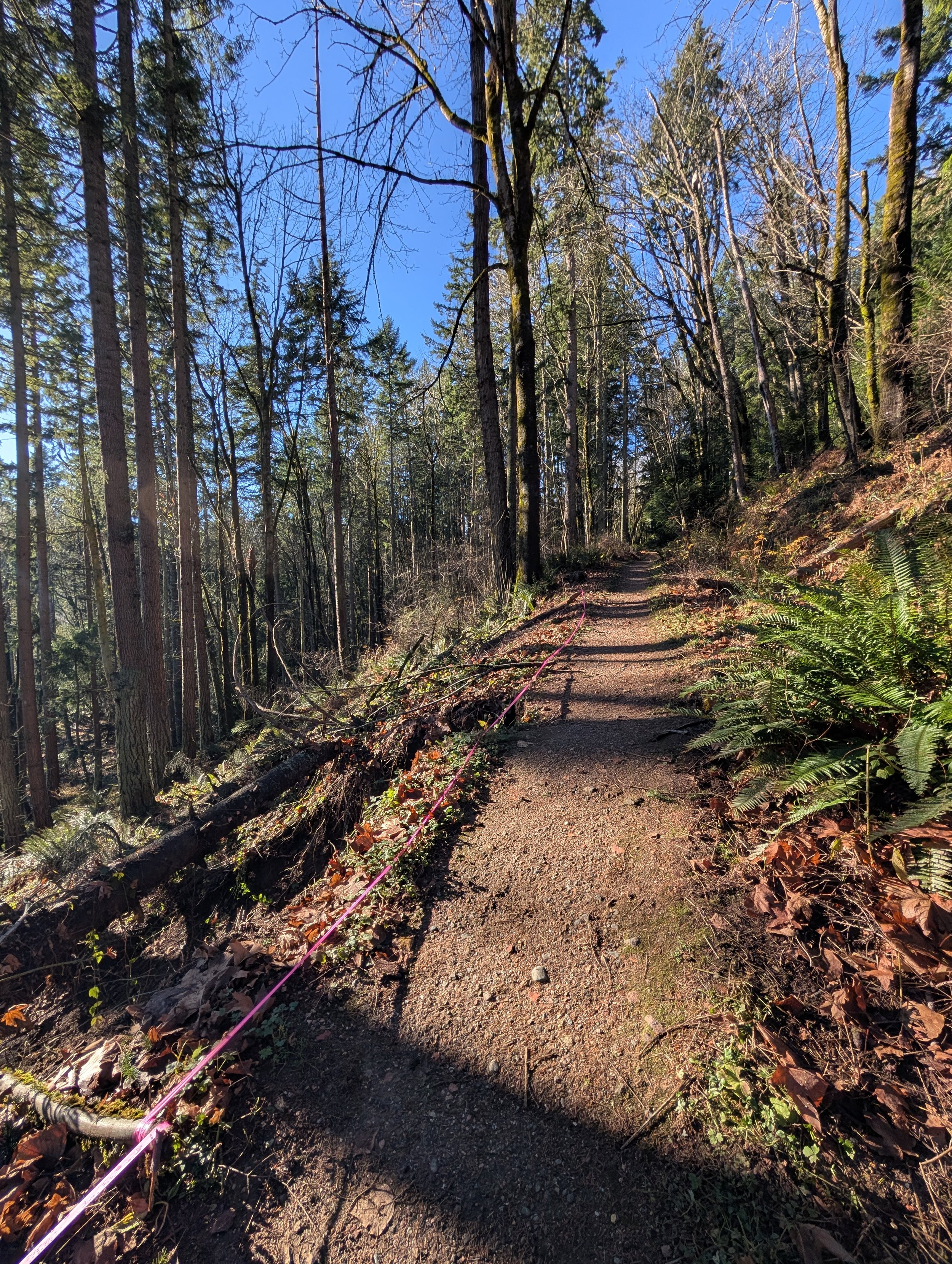
Typical storm runnels on trails at Squak Mountain. Photo courtesy of Selena Eon.
After a typically damp fall, the soil wasn’t able to absorb all this moisture. This resulted in many landslides and debris flows, including those that affected Stehekin, closed Hwy 2, severed Suiattle River Road, and briefly closed I-90 twice. And if this wasn’t enough, high winds whistled through the northwest, with gusts as high as 108 mph recorded at Crystal Mountain. With soaked roots, many trees were unable to withstand the wind. Leavenworth was hit hard by the severe winds and downed trees, and SR 900 near Issaquah was closed due to trees in the road.
The popular Middle Fork Snoqualmie recreation area suffered flooding and damage that has largely been repaired. Unfortunately, the unpaved section of the road is crumbling down the mountainside two miles prior to the Dingford Trailhead and will require significant repairs. Many roads in the mountains remain closed, though repairs have been made to others. With such widespread damage, repair work will continue in the coming months and years.
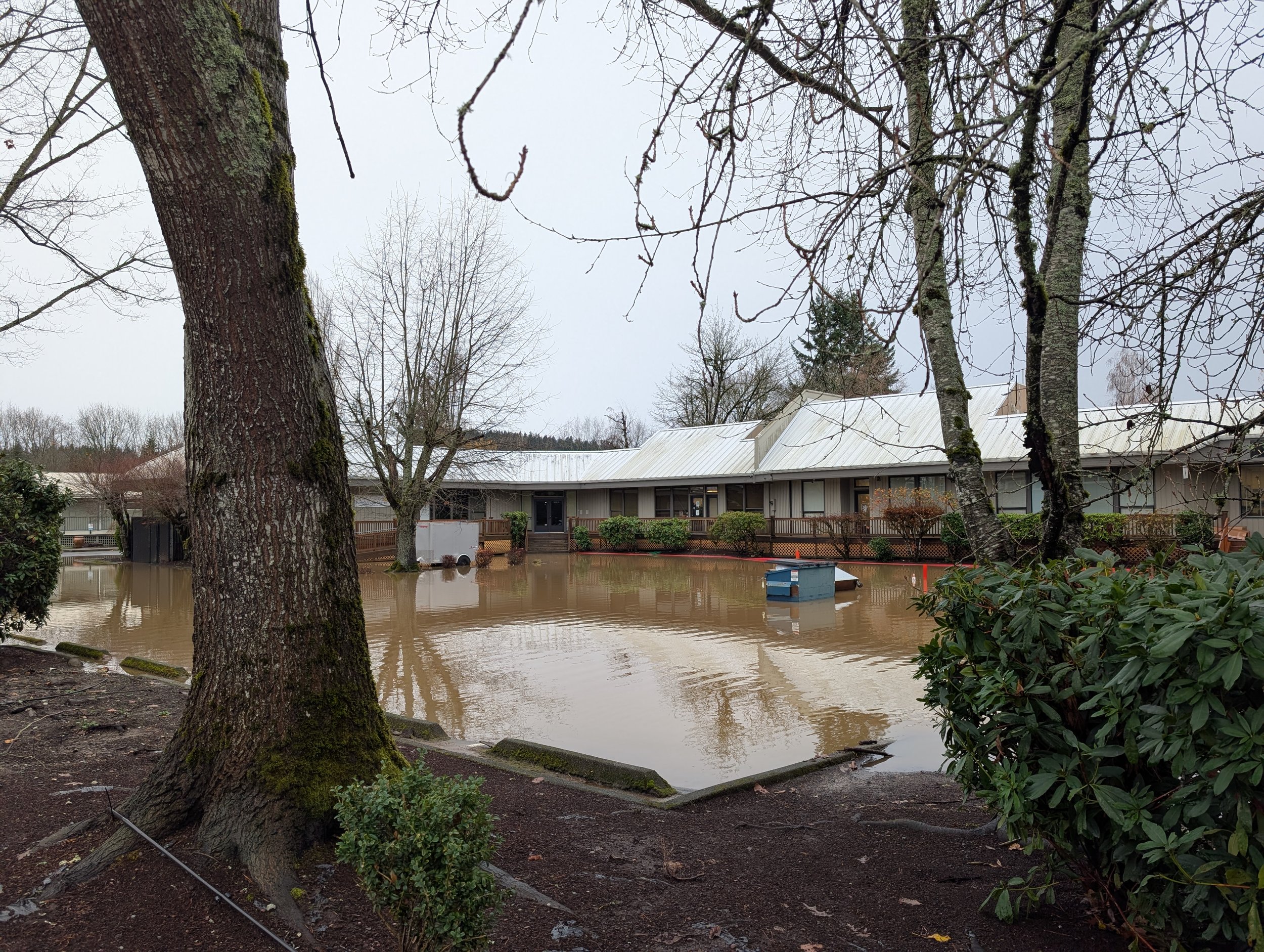
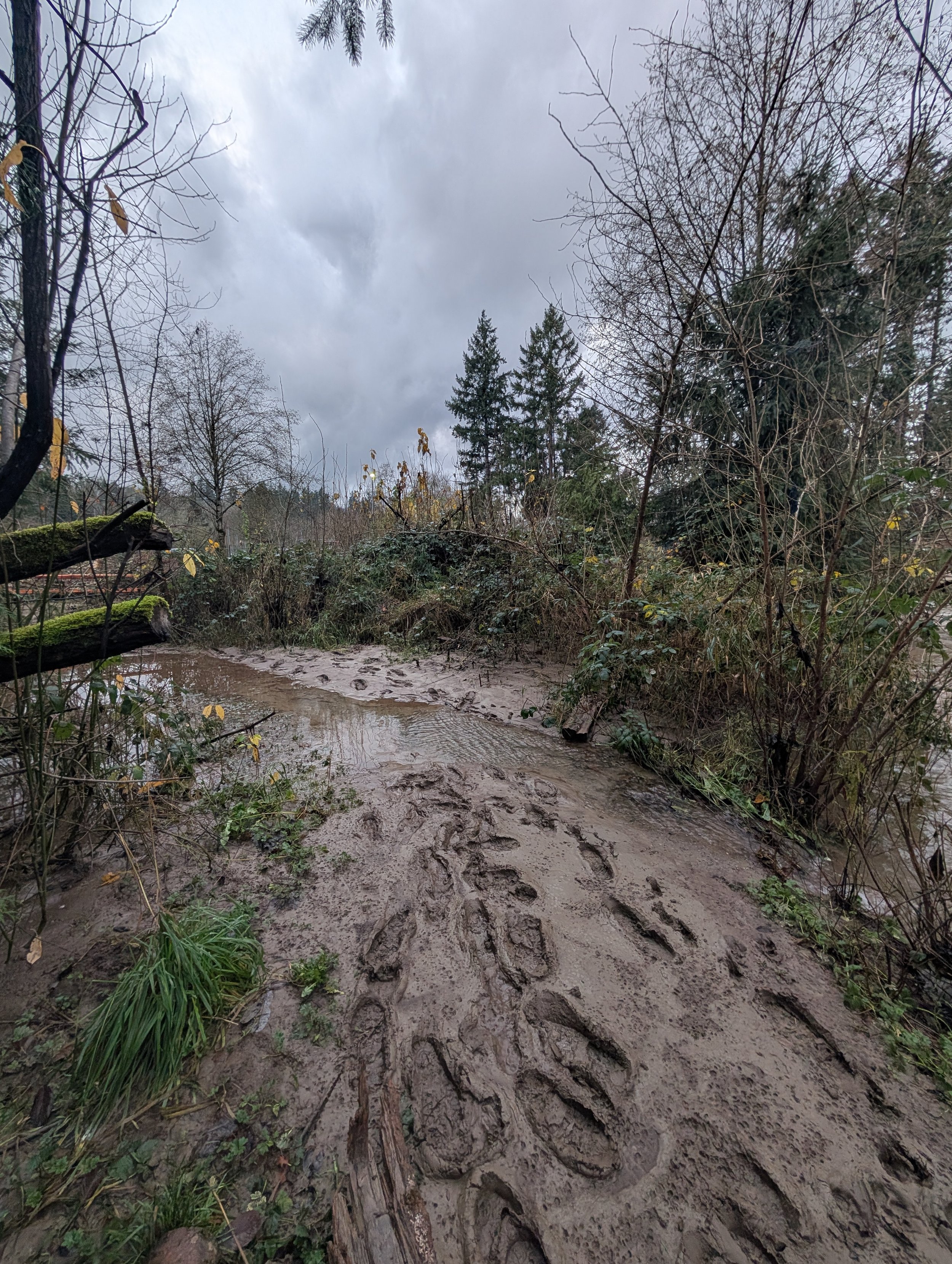
Flooded parking lot near Issaquah Creek. Photo courtesy of Selena Eon.
Locally, Issaquah Creek flooded. Confluence Park flooded into all the low-lying areas. Lake Sammamish State Park and adjacent wetlands flooded. The Chirico Trailhead to PooPoo Point was closed due to water over the trail start. Every stream and waterway was full to the brim. Many roads in town were temporarily closed at the peak of the flooding. Due to significant infrastructure work, impacts to the town were less than feared. As the water receded, we noted that damage was minor, manageable, and within days, life looked normal in Issaquah again.
Although many outdoor recreation areas were heavily impacted and the full effects may be realized over months, our accessible Issaquah Alps trail system demonstrated resilience. Trees fell due to their soaked roots and high winds. A small landslide impacted the lower section of Shangi-La Trail on Cougar Mountain. Trails turned into streams, which led to widespread but minor damage to trailbeds. As far as I am aware, no bridges washed out. As after the “Bomb Cyclone” of 2024, helpers were out almost immediately. Within days, blowdowns were largely cleared, and trails were smoothly hikeable again. We all breathed a collective sigh of relief that our trail system fared well.
Small landslide on Shangri-La Trail. Photo courtesy of Selena Eon.
I hope you’ve read the Alpiner’s articles about the various land managers of the Issaquah Alps. If not, please consider giving them a read! Our beloved public lands are cared for by a number of different entities—you’ll want to know who is responsible for which areas. As trees damaged in the storms may continue to fall, you may want to report them for future maintenance, as larger blowdowns are not safe for hikers to remove. Here are some helpful e-mail addresses to report damage or blowdowns:
Squak Mountain: Squak.mountain@parks.wa.gov
King County Parks: parksinfo@kingcounty.gov
City of Issaquah: danielh@issaquahwa.gov
Tiger Mountain NRCA (DNR): southpuget.region@dnr.wa.gov
Heartfelt thanks from IATC to all the land managers, trail crews, and hikers who acted swiftly to restore our trail system after this historic series of storms. Our community continues to stand up for trails, and we appreciate your efforts.
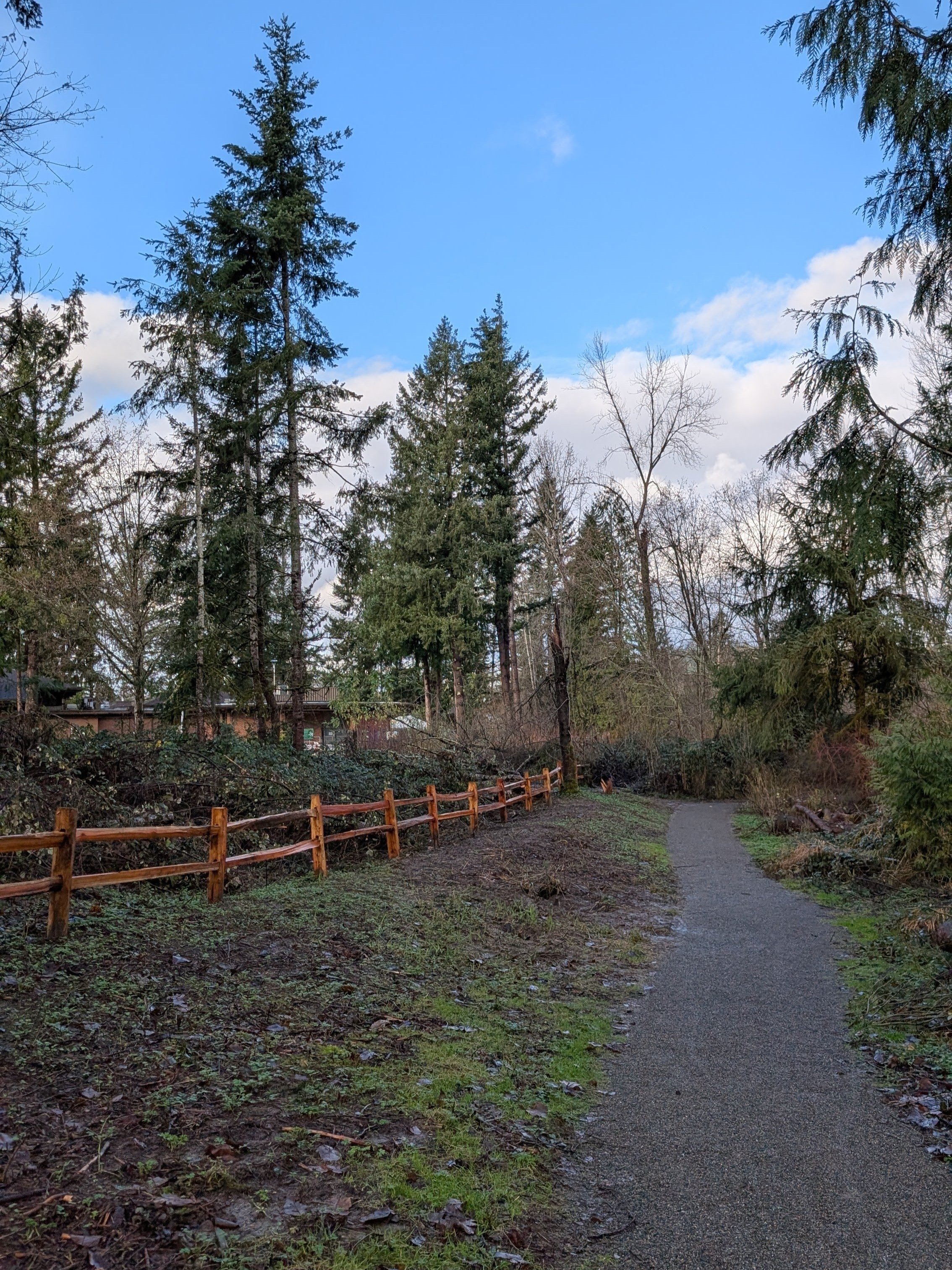
Confluence Park: (L) Before trail repair and (R) after trail repair.
Photo courtesy of Selena Eon.
Learn more about emergency management and preparedness resources and services available to our community through the City of Issaquah and King County. Discover opportunities to get involved with the Issaquah Alps Trails Club and contribute to local efforts.